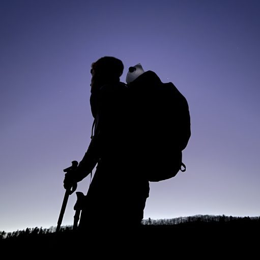

Date Written: 10/09/2024 | AT Mile 1076.8 | Day Total: 25.6 miles | Gain: 2939 ft
Didn’t sleep well last night. Those wining noises went on until 11pm stoped, then again at 1am for over an hour. I’ve come to the conclusion that they are baby raccoons- or at least that’s what I’m telling myself.
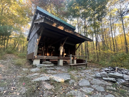
Packed up before heading down to the shelter to retrieve water and my food. The water source is soooooo far down the hill from the shelter. And the shelters is also very down hill from the AT. Spring was flowing and I luged myself back up to the shelter. At least I’m toasty warm after that climb on this cool morning.
Started hiking at 8:30 today, pretty late for how big of a day I’ve got today – 25.8 miles… There’s a 15 mile stretch in the Cumberland Valley that’s completely flat free of rocks. Only downside is the only campsite in that stretch is mere feet from an active railroad and there’s comments of homeless living there. So big day it is!
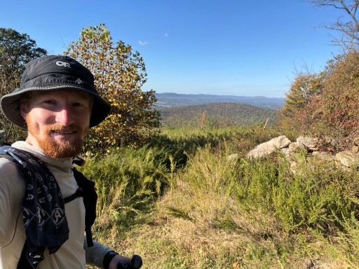
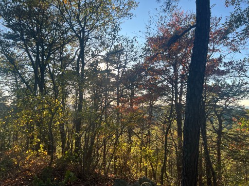
I had about 8 miles of ridge walking and a small mountain to get over. There was an okay view from a gas line a few miles into the hike this morning.
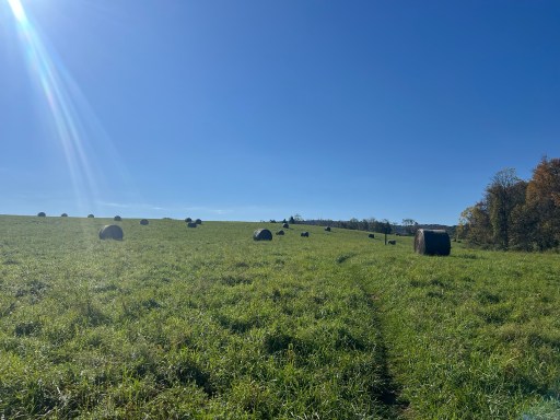
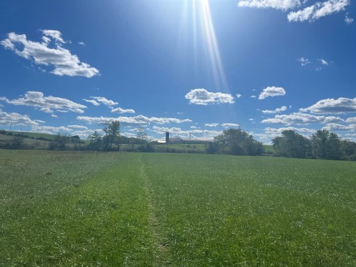
Between the two mountains there was a large grass field with bales everywhere. A few day hikers were in this area as well.
Another climb later and I came across another view. This time I could see across the Cumberland Valley. I took a short sit break at the rock throne and admired the view. I forgot to take a picture of this one… oops.
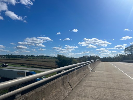
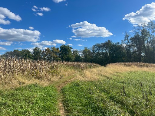
Most of the way down the mountain, I ran into a old rusty broken down vehicle. It was right next to the spring I filtered water from. I’ve got a huge 15 mile stretch of easy flat trail that goes through fields, small forest, across bridges and roads.
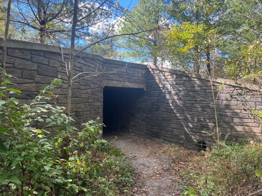
One of the first major roads I crossed was PA Route 944. Gotta give credit to the nice stamped stone walls in the tunnel- they didn’t cheap out on the “decor”.
I pushed on to the Scott Farm which is managed by the ATC. They’ve got a nice shaded picnic table that I had lunch at. There was a section hiker here that I talked to while we both ate. Crossed over Conodoguinet Creek just after lunch.

The next 10ish miles to Boiling Springs were cruzy. The suns out beaming today to I put sunscreen on and wearing my hat as usual. Lots of fields and road crossing, nothing too exciting.

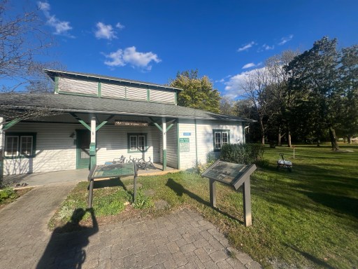
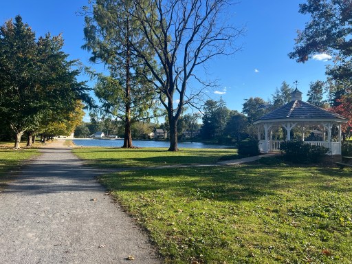
I eventually made it to Boiling Springs after a short road walk. There is a ATC office that has a water spicket outside that I made use of. The town has a nice pond that the train walked around. Very peaceful on a sunny fall day like today.
I went through a few more fields before climbing up to the shelter. The top has no view and is called Center Point Knob.

I made it to the shelter and there’s already a few section hikers setup. The tent spots are new but have lots of gravel and some are even slanted… I decided to camp by the creek about .2 past the shelter. I’d have to go down there anyway to get water.
Setup camp and cooked dinner fairly fast as it’s getting dark. I’m not a huge fan of the short days. It would be nice to have another hour or two of sunlight.
Tomorrow Kill a bill and I will do the Half gallon challenge at the Green Mountain General Store. The traditional place is at Pine Grove State Park but they have limited hours only during the weekend and today is Wednesday…

Leave a comment