Date Written: 10/28/2024 | AT Mile 1461.8 | Day Total: 27.0 miles | Gain: 6747 ft
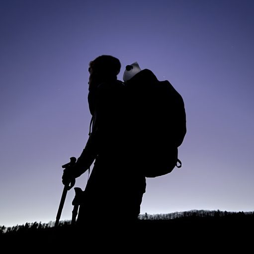
Woke up at 7 this morning. Slept really well last night which is good because I have a big day ahead of me. I made breakfast from my sleeping bag because it’s pretty cold this morning. I’m going to start my hike in pants today.
I left the massive shelter and followed the creek for a while before heading up to Fork Mountain. The climb got my blood flowing pretty well and warmed me right up. The valley was covered in fog only visible through the trees.

Right after the descent pasting Jennings Creek I climbed up 2000ft. I passed by Cove Mountain Shelter and Buchanan View. Midway up the climb I changed into my shorts as it has warmed up now that the sun was beaming down on me.

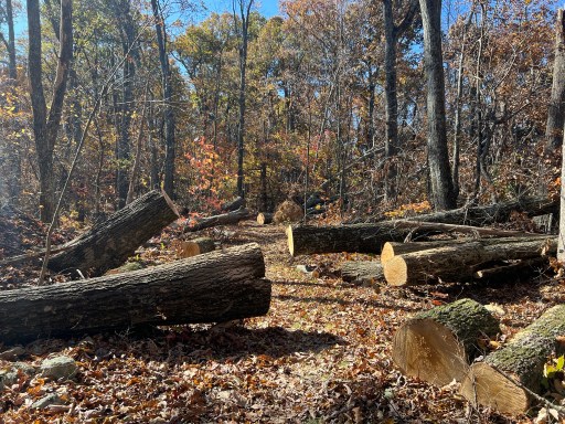
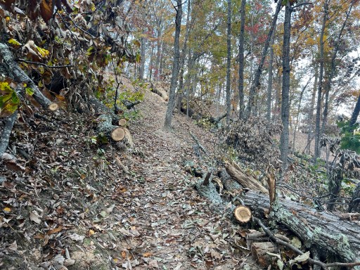
I stopped at Bearwallow Gap, filtered some water and ate lunch. I’ve passed multiple area that have lots of downed trees that have been freshly cut. It aught to be from hurricane Helene. I’m impressed with how fast trail crews have cleared the trail. These ain’t small trees.
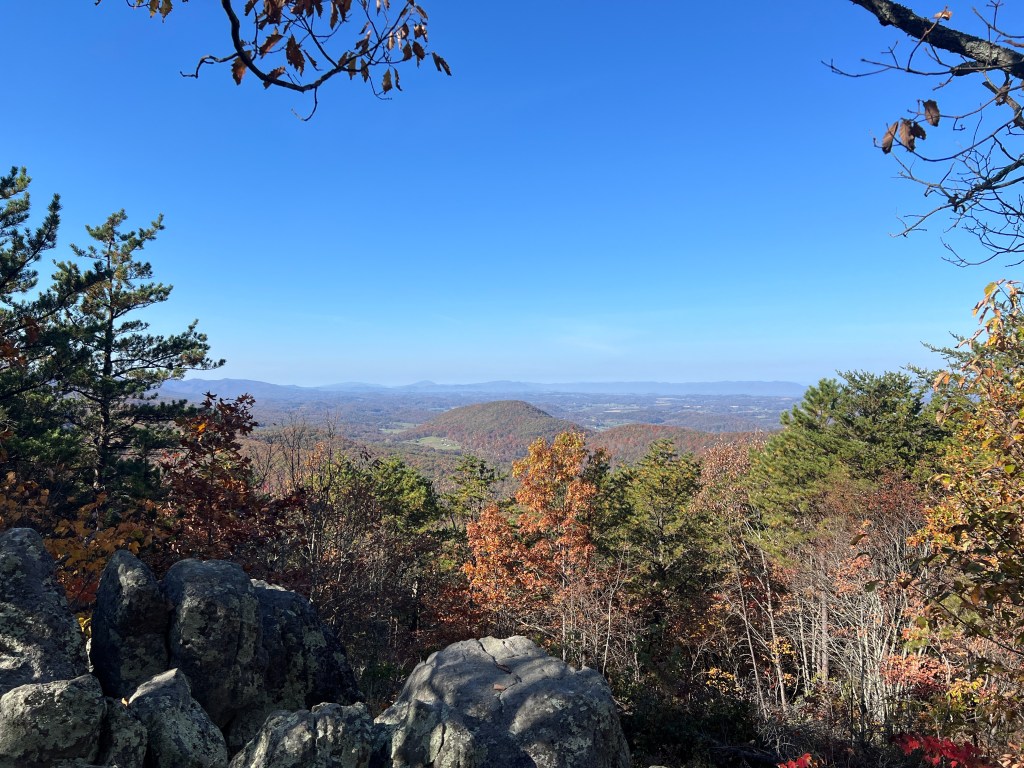
For the next 9 miles I crossed the Blue Ridge Parkway often at overlooks. The first one being Mills Gap Overlook with a view of the James River.
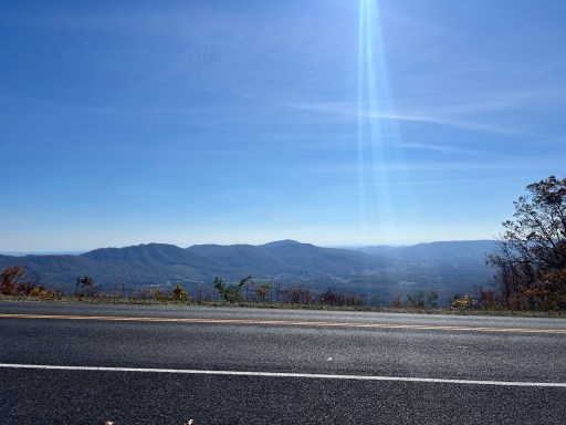
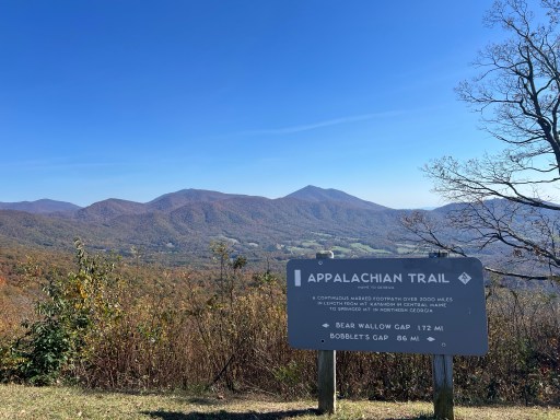
The following was Peaks of Otter Overlook. It was great views of the south east and a sign describing the Appalachian Trail.
A few miles later I visited the Blue Ridge Parkway again at Harvey’s Knob Overlook. Both sides of the road had a wonderful view.

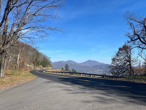
Less than a mile later was Montvale Overlook with views to the southeast. There are TONs of overlooks in this area. It’s neat to try and connect the views together and watch the valley below pass by.

The last overlook was Taylor’s Mountain Overlook.

I walked by Black Horse Gap which is where my dad, Nate and I had started a hike of the Virginia Triple Crown two years back. A well known shuttle driver named Homer had driven us here. So I’ve done next 30ish miles before. The area also includes the ever so famous McAfee Knob. It’s the most photographed part of the whole Appalachian Trail and also my middle name.


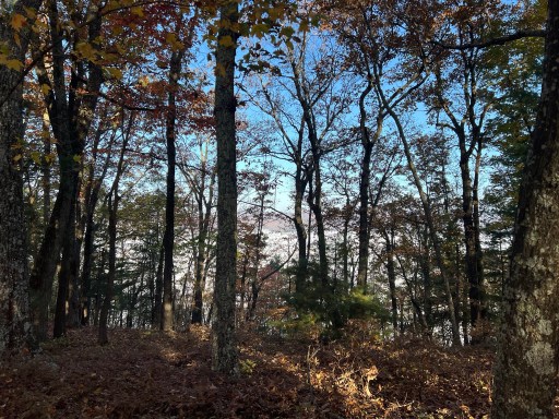
The following miles I gradually descended through forests of rhododendron. This would be a good example of the “Green Tunnel”.

Near the bottom I passed Wilson Creek and a sign. The sign marked an old Charcoal pit prior to its closing due to new fuel methods.

I continued to see multiple areas of freshly cut blowdowns. Particularly on the more exposed ridges.
I had a 1000ft climb before I reached the shelter. I could smell a fire burning a quarter mile before the shelter so there must be other hikers there. The sun had just started to set as I walked the short side trail to the shelter. Two gentleman that were section hiking were positioning the picnic table as a wind block. It’s petty exposed up here and there’s quite a breeze.
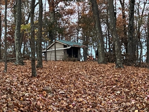
The cool thing about this shelter is the water source. It’s a cistern that collects rainfall from the roof of the shelter. It still had water for which I was grateful for. I pitched my tent 100yards behind the shelter. It’s a little less windy here as it’s not at the tippy top. Nice view of the sunset through the trees.

I cooked dinner and setup my sleep system my tent. I’ll head into Daleville tomorrow morning for a resupply.

Leave a comment