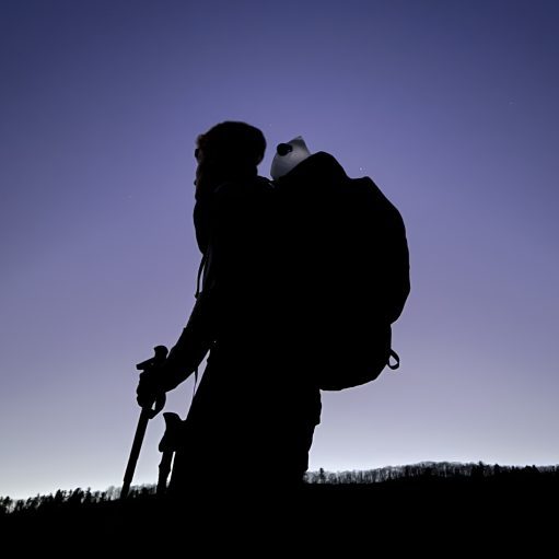

Date Written: 11/08/2024 | AT Mile 1627.3 | Day Total: 22.0 miles | Gain: 5262 ft
Woke up at 6:30 and took a refreshing shower. It’s the modern conveniences, like everyday showers, that you end up missing the most living in the woods. Made some breakfast and finished the last journal that was deleted after I accepted iCloud’s new terms and conditions.
I packed up my backpack and turned in the key in at the office. I waited outside for a few minutes before Pam pulled into the parking lot.

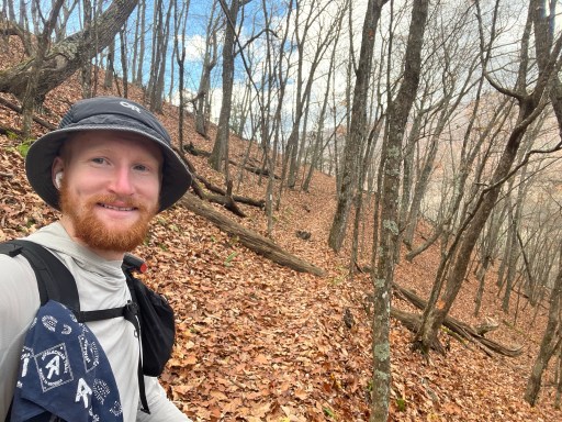
Pam dropped me off where I hiked off around 9:15. I’m going to try to push to Chestnut Knob Shelter. It’s a shelter on top of Chestnut Knob, 4407 ft above sea level.
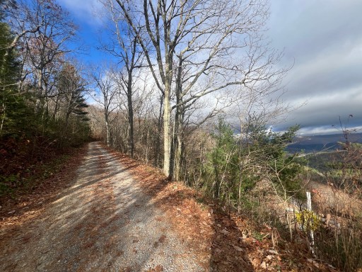
Pretty easy hiking to start the day. I was on a gravel/dirt road for the first mile then developed into nicely graded trail. Passed a set of power lines with a view not far after.

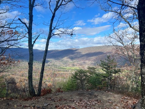
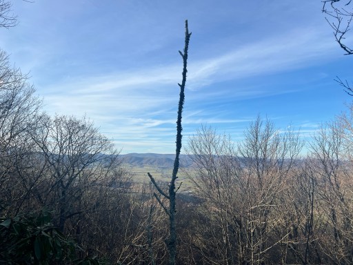
A little over 3 miles into the hike I walked over to a small outcropping. Had a really good view across the valley.
I continued along the ridge for some time before gradually descending to Laurel Creek. There was a picnic table at a small campsite so I took up the opportunity and had an early lunch. Pepperoni and pepper jack cheese wraps for lunch.
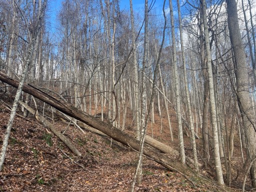
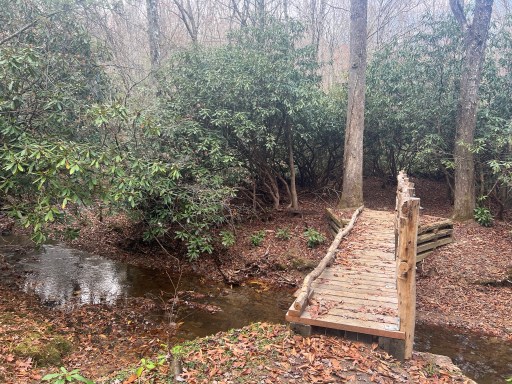
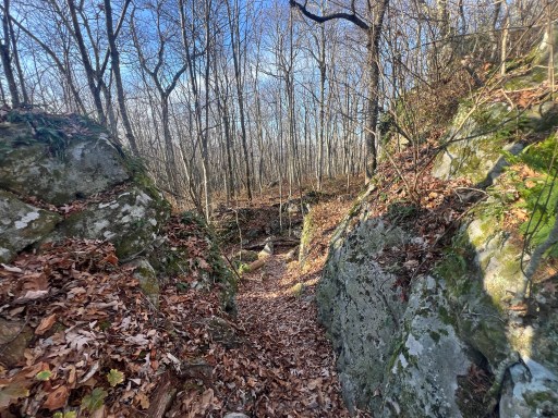
Walked over the bridge over Laurel Creek before ascending 700ft to another ridge. On my way up I passed some rock cliffs and blowdowns.


I walked under an older blow down across the trail. The interesting part about this blowdown was that there were four other trees growing vertically from it. They appear to be using the blowdowns root system as there base. Interesting!
After a two mile Ridgewalk, I descended down to Hunting Camp Creek. I filtered some water here before climbing up Garden Mountain. It’s a 1700 foot climb to the ridge where I’ll hike another 7 miles before climbing higher to tonight’s shelter.

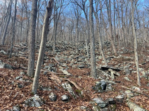
The climb wasn’t too bad. It’s a cool 65 degree day with cloud cover so I wasn’t sweating too much. Hiked over some sections of trail that were rocky. There were also sections to the side of the trail that were big boulder fields.
At the top there was a sign for Hunting Camp Creek wilderness. Along the ridge I soon reached VA Route 623. A water cache was stationed here but I wasn’t in need of water unfortunately.

Pretty cool section along this ridge. Walked around some larger boulders. Now that the leaves are gone it’s fairly easy to see the valleys on either side. There’s a ton of farm land in the valley to my right.
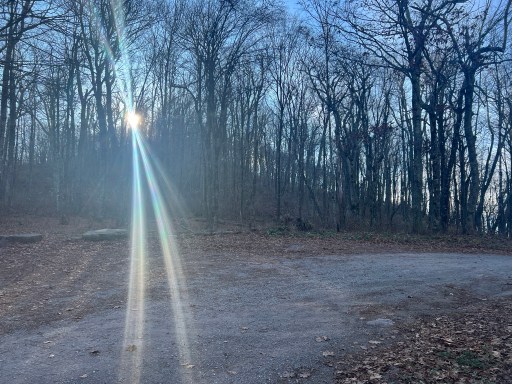
I was going to get to the shelter at dark which means I will have views of the sunset while on this ridge. Through the trees the sky slowly turned pink on the horizon. It was a pretty sight.


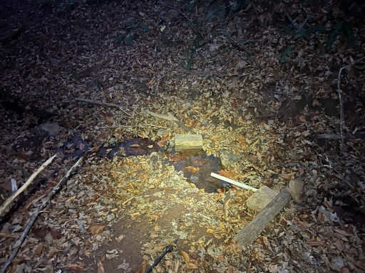
I filtered some water at a pipe spring just before my 1000 foot climb up to the shelter. There’s no water at the shelter, so I’m carrying a full bladder.
Pretty steep climb up to Chestnut Knob Shelter. I had my hand lamp on the whole way lighting my path. Eventually I got to the grassy field with their shelter is. There is still a hint of pink in the sky from the sunset.
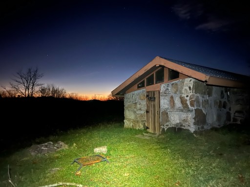
I settled into the shelter, cooked some dinner and watched the mice run over the bunk across the room. The nice thing about this shelter is that it’s fully enclosed with a door. There was a noticeable temperature difference between inside and outside of it.
With all my gear hung up so that the mice can’t get to it I settled into my quilt and journaled. Going to set an alarm tomorrow morning so I can watch the sunrise.

Leave a comment