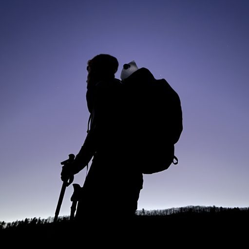

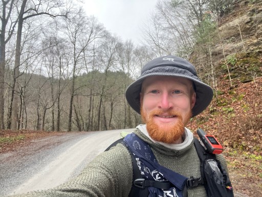
Date Written: 11/15/2024 | AT Mile 1726.4 | Day Total: 19.1 miles | Gain: 1614 ft
Woke up officially a little before 7. I’ve been turning since 3:30 when got sucked into looking at trail conditions ahead in the middle of the night. To be fair at 3:30am I already had 8 hours of sleep.
It rained on and off last night and is drizzling as I make breakfast and packed up. I’m doing a long road walk today into Damascus. I’m going to try to get back onto the AT near Taylor’s Valley and see what trail conditions are like.
I started my day hiking down Whitetop Rd to 58. The first 45min it lightly rained and was very windy. Lots of blowdowns that have been cleared off the road. They haven’t cleared the shoulders yet and the railing is either completely collapsed or dented by the trees.
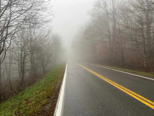
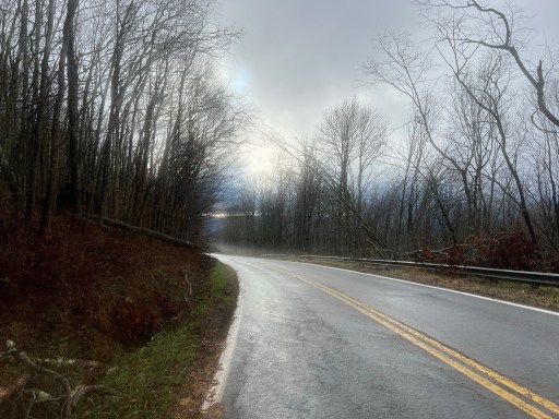
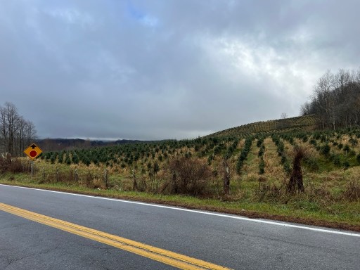
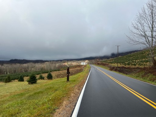
Once I was near 58 the fog cleared up and the rain halted. There are a bunch of Christmas tree farms is the area giving a nice view.
There’s a nice gas station on 58 that I took a pit stop at and had some coffee. It was nice to be in a controlled environment for a little bit.
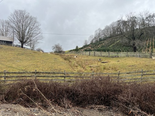
I continued along 58 until I reached Green Cove Rd. I’m trying to avoid the busy highways and this is the best way to do so. This road follows the Virginia Creeper Trail for a mile ish. I decided to walk along the trail as it seemed pretty clear. Saw some goats.

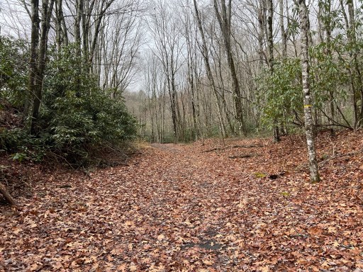
The clear trail didn’t last very long. It was completely washed out by Green Cove Creek when Helene’s rain fell.
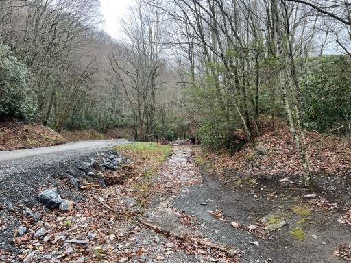
Back on Green Cove Rd I turned onto Chestnut Mountain Rd. This road started as pavement then turned into gravel. I slowly made my way down weaving alongside the mountain face. A few cleared blowdowns but the most devastating part was the landslides and washouts. The road was disintegrating. They have been working on adding rock and rebuilding the ledge for the road.

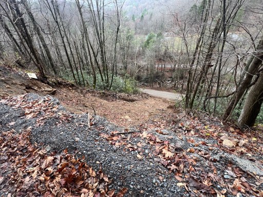
The pictures don’t do a justice. It’s hard to truly capture the destruction that the rain caused.
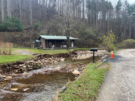
As I got closer to Taylor Valley I began walking along Valley Creek. This creek, no joke, washed away entire front yards and driveway bridges.
When I got to Taylor Valley it was clear I wasn’t even going to be able to get to the road to the AT. The lower part of town had houses actively being demolished.


After so much road walking I was surprised that I wasn’t bored. I think part of it was that every corner I turned there was some kind of fascinating destruction.
I was offered two rides into town today. One from a nice post office lady and another from a kind gentleman in a red truck. I declined both and explained I’m attempting to get continuous footsteps despite the trail closure.
I eventually made it to SR91 and walked along that for two miles into Damascus. This road had a little more traffic but wasn’t bad.
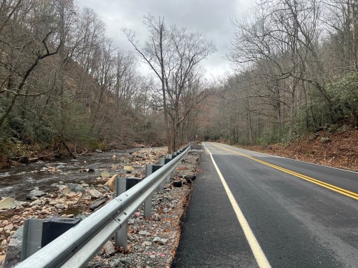
SR91 is directly next to Laurel Creek which washed out a bunch of sections of road. Rock, pavement and new railings have already been rebuild on the worst parts.
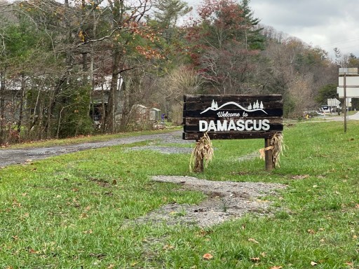
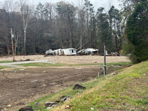
I eventually made it into Damascus. This is where I saw the most damage. The creek had flooded the lower plots of land layering them in sand and river rock. It wiped/lifted a whole trailer park into the trees nearby.
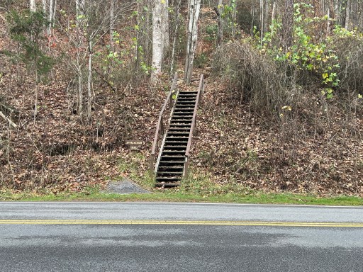
I passed by the stairs heading nobo out of town. I walked up and down them because I can.
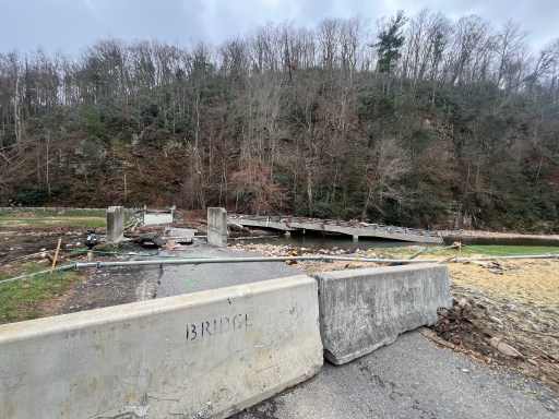
The main concrete bridge into town is still stable but another smaller bridge near town was washed away. I say small bridge but I can’t comprehend the force it would have taken to break free a bridge of this size.
Damascus itself is cleaned up for the most part. There’s definitely some business that had to close but the ones that were not badly affected are up and running.
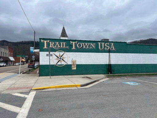
For those that don’t know Damascus is known as “Trail Town USA” and is also home to Trail Days (a multi-day hiker “festival”). Most of its economy is trail based.
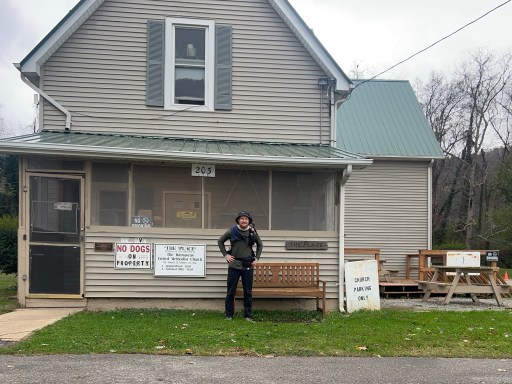
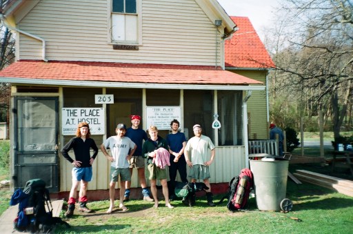
I walked around town and to the information center. I didn’t get much help from the visitor center and walked throughout town. I stopped by The Place hostel for a picture. My dad stayed here during his thru hike.
I sat around and called a few lodging options in the area. Eventually I was able to find one that was open, Lady Di’s B&B. She welcomed me in and showed me around. It’s one of the cleanest hostels I’ve seen! After a shower I went back to my room to get organized.
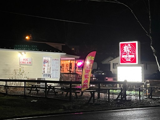
I went to a restaurant called Wicked Chicken down the street. I got some onion rings and a burger. Not the best burger I’ve had but it satisfied my stomach.
I walked back to the hostel and settled in for the night. Two road bikers showed up while I was at dinner. Gave my family a quick call and journaled. Breakfast is at 7:30 and I’ve got my alarm set.
Tomorrow my plan is to resupply and try to hike on the AT. If it’s impassable then I’ll resort to road walking.

Leave a comment