
Date Written: 11/20/2024 | AT Mile 1802.4 | Day Total: 19.0 miles | Gain: 3247 ft
Spotty rain last night. Had a lot of condensation buildup on my tent this morning. Used my bandanna and soaked most of it up. Made some breakfast and packed up. Was out on the trail around 7:30.
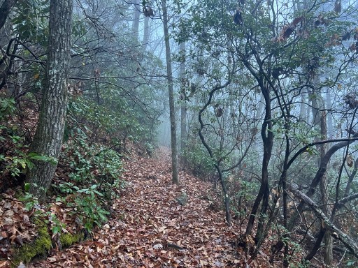
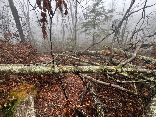
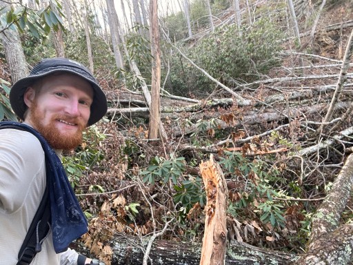
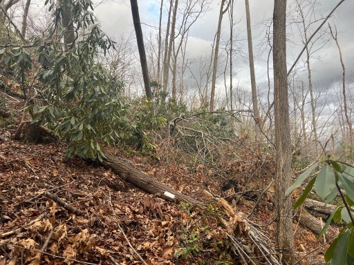
Had some medium difficulty blow downs to start the day. The trail is wet and the air is misty. My shoes got wet within the first hour.
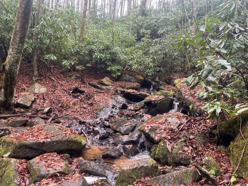
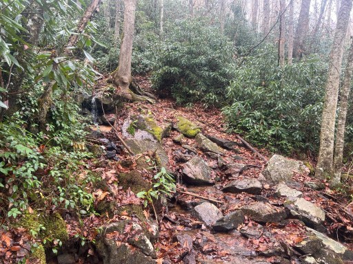
After a mile of the blowdowns had been cut all the way to FS 293! I passed by Hardcore Cascades which were flowing quite well with the recent rain. They were nestled in a patch of rhododendron.
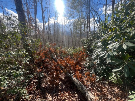
The sun poked through the sky a few times today. Otherwise it was overcast with the occasional rain spitting. The humidity was very high and it was 60 degrees so I was very sticky and rather uncomfortable at moments.
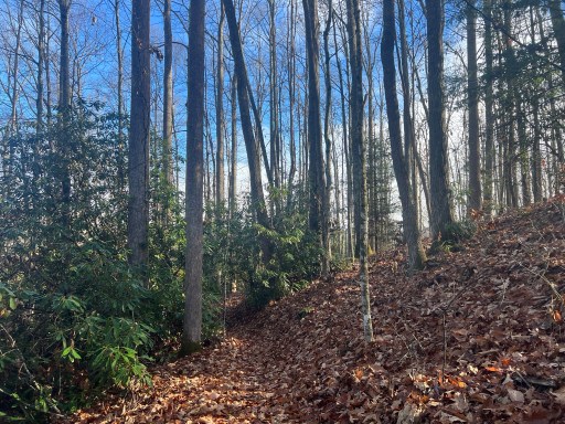
I soon walked over Upper Laurel Fork. Super pretty area. The scenery lately has been very different than it was in Virginia. I also spotted a sign on a tree marking 407 miles from Springer Mountain!


Not far after I made it to Walnut mountain road it had been recently cleared both nobo and sobo! It’s so nice to be walking peacefully and not navigating through blowdowns.

As I made my way past the road it began to rain a bit harder than expected. It didn’t last very long luckily. I’d rather not be drenched today because it’s supposed to go below freezing tonight.
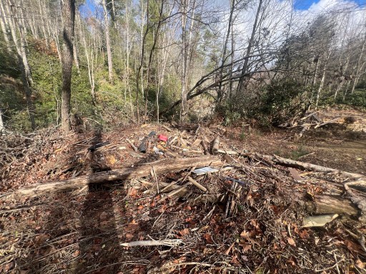
They had cleared a whole blowdown field. It’s crazy how many trees can make up a blowdown field. Lots of work to clear the path.
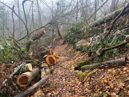
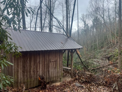
I made it to Mountaineer Falls Shelter for lunch. Dispite being in a field of blowdown the shelter suffered little damage aside from a small rip or the metal roof. The rip is above the picnic area so it doesn’t do much harm.
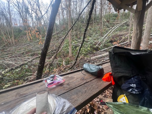
After some pepperoni wraps I hit the trail again. I walked by Mountaineer Falls and shortly after the cleared trail stopped. Like I have been, I continued through.
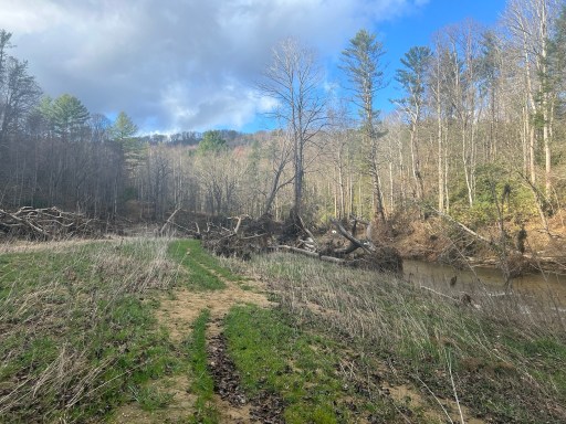
The blowdowns were pretty difficult and slow going. It after a mile the trail unexpectedly was cleared again! I was expecting to be going through blowdown for the next few miles but this was a relief! I made it all the way down to Elk River. This river was much bigger than I expected.
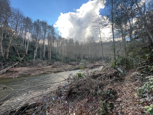
It soon became clear that the river had risen 15 to 20 feet during Helene’s rain. There was debris on the side of the river and bunch of sticks caught on trees. I took a short break and filtered some water from a stream going into the river.

The trail walked right alongside the river for a short time. The grass nearby was covered in a layer of sand and portions of the trail were washed into the river. Nature is crazy!

Unfortunately on my climb back up the trail as uncleared again. This section was one of the hardest I’ve had to get through. I was moving around .5mph for a mile before the blowdowns lightened up a little and I could move a little faster. This is where I would have snagged my backpacks mesh on a branch that ripped a penny sized hole.
As I got nearer to Campbell Hollow Road the trail was cleared again! I get excited every time I see fresh cut marks ahead – it puts a little pep in my step!

I don’t think anyone has walked all the through the 8 mile section I just did since Helene hit. There were no signs of anyone making a path through. No footprints, cut branches, or snapped branches to make a path through that blowdown section coming up.
The trail sobo of Campbell Hollow road was also clear as FarOut commenters have mentioned. I should be able to get some miles under my feet before it gets dark. I climbed up a little passing Isaac’s Cemetery.

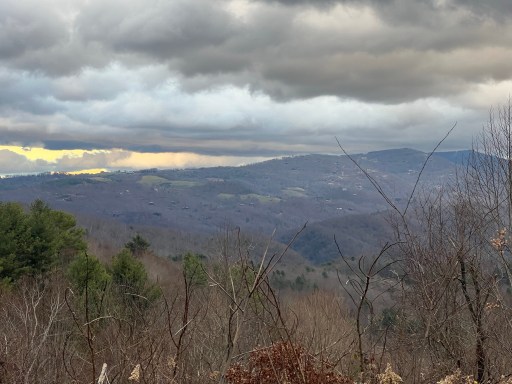
At the top of the climb I walked through grassy lands and had marvelous views towards Roan Mountain! Best views all day.
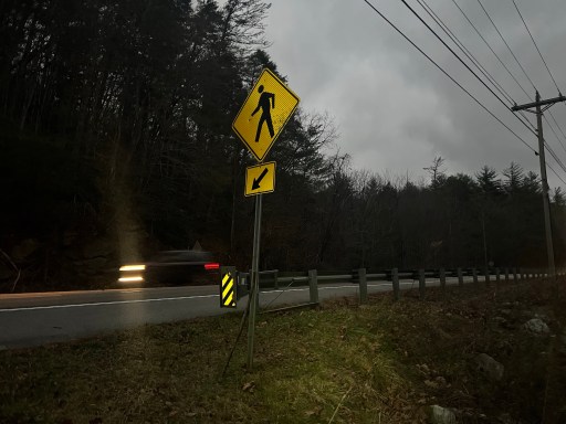
I had a few more mile before I reached a good campsite just past US 19E. I walked over Bear Branch on my way.

I picked up some water from the stream just before the campsite and found a place suitable. It was misty raining and got a little breezy when I approached camp. I quickly setup and put my pack and myself inside to get organized.
My feet were pealing a ton because they had been wet all day. It’s a genetics thing and doesn’t hurt, just looks bad. After setting in I cooked some dinner and journaled. Looking forward to tomorrow! Chance of snow and I’m also going over Roan Mountain!

Leave a reply to Beth Huffmyer Grudell Cancel reply