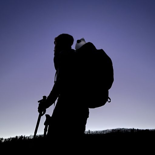

Date Written: 11/26/2024 | AT Mile 1909.5 | Day Total: 20.9 miles | Gain: 4369 ft
As expected the rain poured down on the middle of the night. I was nice and dry in the shelter! I did have a mouse run over the footbox of my quilt… I could hear them running in the walls occasionally. Luckily they didn’t chew anything of mine up.
The rain had stopped when I woke up aside from the occasional drip from the trees. I made the rather far journey to the bearbox and brought by food bag back for breakfast.
I hit the trail afterword. It’s very foggy and sticky this morning. I’m just glad it’s not raining now! I gradually made my way up to Big Butt. That’s not a typo – the FarOut comments are pretty funny. “Smells like crap” and with a musical jingle “I like Big Butt and I cannot lie” they go on…
On my up to Big Butt I passed some cleared blowdowns! The clear trail has been soooo nice!

I also spotted a buck on the way up. He had the most points I’ve seen on trail so far!


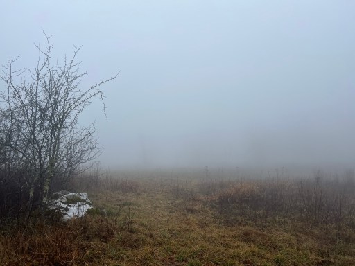
The actual top of Big Butt is wooded but there’s a meadow that normally has a few that I passed through right before. Unfortunately it’s all fogged in today.

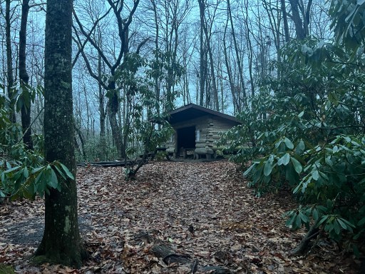
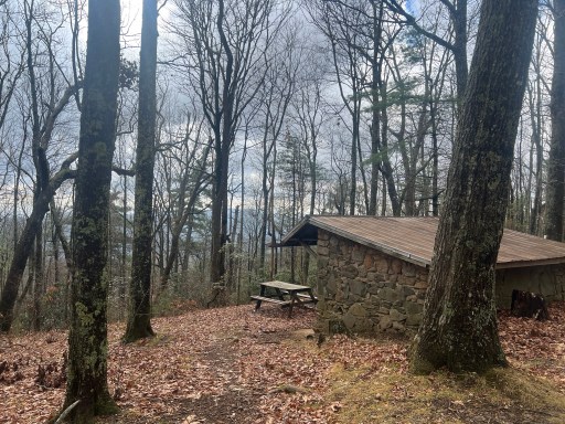
Walked through some more fogged in grassy meadows before reaching Jerry’s Cabin Shelter. I took a rather long snack break here.
Not long after I reached an intersection for a bad weather bypass and there was a rock made “300” on the ground. I’ve got 300 miles to Springer!
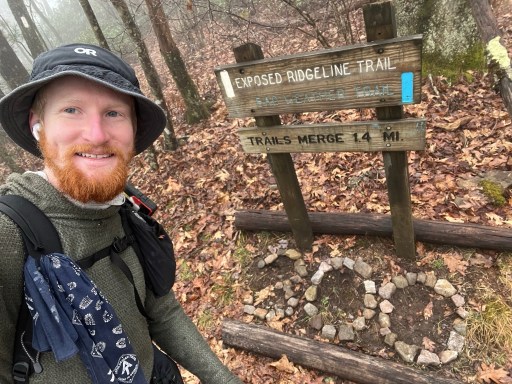
As the sign above predicts I was on an exposed ridgeline, Big Firescald Knob, for a little over a mile. The trail got pretty rocky and I was climbing up a few short rock walls. It was more technical like up north which was fun.
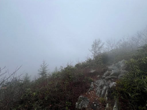
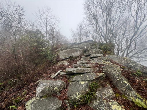
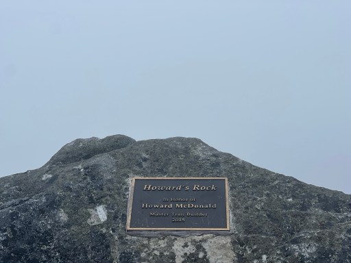
I also walked through Howard’s rock, Blackstaff Cliffs and Whiterock Cliffs. These all looked the same: rocks with white out views.
I ate lunch on a flattish large rock. The sun was trying to poke through and the fog was clearing up enough that I could see across to the nearby ridge.

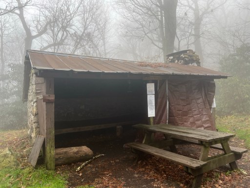
After lunch I had a short 300ft climb before I began a near 3000ft descent. On my way down I made a quick stop at Little Laurel Shelter before heading the rest of the way down.
At the bottom I passed by a gravel road that takes you to the cookie lady. Although there were no signs and a comment had mentioned that they no longer lived there. I had met the northern Cookie Lady early on in my journey sometime after the Whites.
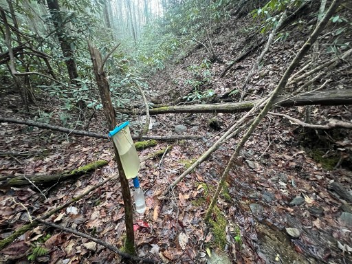
The sun was out during the late hours of the afternoon as I climbed up 1000 ft. There’s a trail junction and some water down the side trail. The next shelters only 1.5 miles from here but there are comments mentioning that it’s closed for overnight use because of high bear activity. I probably wouldn’t stay in the shelter anyway because by the sounds of it “rodents do the square dance at night” – a FarOut comment.
I made it to Little Paint Creek Trail intersection and went down to grab water. It’s rather far and probably close to a half mile round trip. It was still light after I setup my tent which was nice.

I settled in and cooked some dinner before looking ahead on FarOut. I’ve been thinking through strategies for resupply and the Smokies. Afterword I journaled and headed to bed before 9pm.

Leave a comment