Date Written: 12/12/2024 | AT Mile 2178.4 | Day Total: 16.5 miles | Gain: 3744 ft
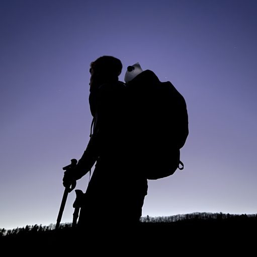
It’s a chilly 21 degrees this morning. The wind isn’t helping- it picked up through the night. My tent was flapping in the early hours of the morning waking me up occasionally. Made some breakfast and watched the sunrise. It was pretty. The dirt around my tent has rose an inch. The moisture has escaped the dirt and froze lifting it up – fascinating!


I’ve got roughly 5 miles to Neels Gap where I’ll take a long break. First I have a small climb to Wolf Laurel Top then a larger one up Levelland Mountain. Neither ended up being that bad of a climb, just super windy.
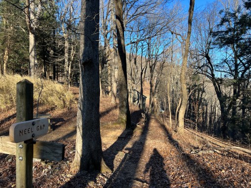
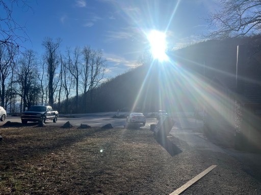
When I arrived at Neels Gap I walked through the tunnel, the official trail route. On the other side there was a large Katahdin Photo Booth and lots of seating.

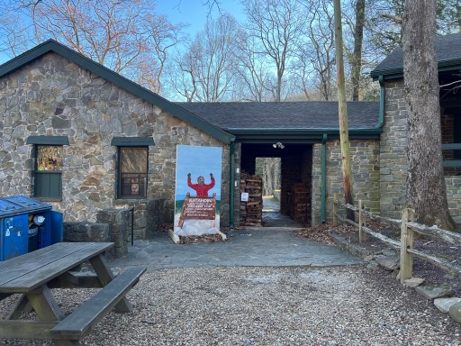
Neels Gap is a popular stop for both sobos and particularly nobos. It’s usually the place unprepared nobos rethink and potentially “toss in the towel” or better phrased “toss up the boots”. And there’s a tree for that… Fun fact: 25% of hikers quit before Neels Gap, only 31.3 miles in.

I took a nice long two hour break here. I went into the outfitter and looked to see if they had any hiking pole tips and they sure did. I could make it to the end with the rubber tip but I’d rather have them for further trips. After some elbow grease I was able to get the broken top off and the new one on – they are friction fit. After nearly 2200 miles they’ve got some wear.

I also got a sprite while I was in there. I sat outside on the overlook area while I charged my phone and power bank. I decided to get a really early lunch while I was relaxing.

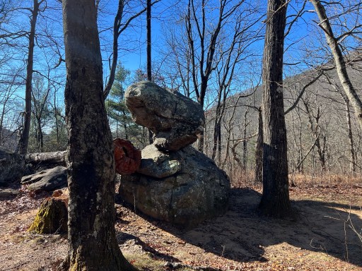
After two hours I hit the trail again. It was 11:30 when I started my ascent towards Blood Mountain. I was glad to see that the wind had died down and it had warmed up quite a bit! As I made my way up there was this interesting balancing rock. Looks as if you could just push it over.
Lots, like a dozen, day hikers were coming up and down Blood Mountain. Most people I’ve seen on the trail in a long time. I couple asked me if I knew where the loop was and I said I was unfamiliar with the side trails off the AT. The gentleman was confused and asked where I started. I said “long story but Maine”. He suddenly realized that I was thru hiking. I guess it didn’t cross his mind before. It’s cool to watch people’s expression when they realized how far you’ve come!
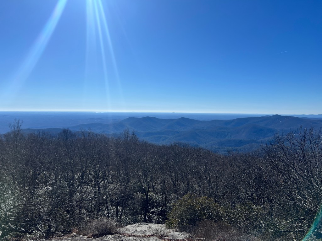
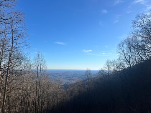
Overall the climb was not bad at all. Some rockier bits but fairly easy. As I neared the top I had amazing views from multiple rock slab clearings. I could make out a city skyline in the distance and I think it’s Atlanta. I later confirmed that it was. Getting so close to the end! The mere fact that the land far in the views is all flat confirms it.


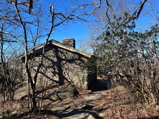
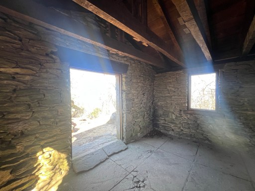
At the tippy top of Blood Mountain there’s a shelter rightfully named Blood Mountain Shelter. It’s pretty bear bones, like most shelters but once was nicely outfitted. It even has two rooms.

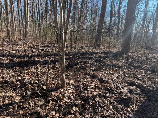
For the next 5 miles I descend off of Blood Mountain. It started steep and bumped up and down a little. Multiple times I walked through areas where the leaves were super ruffled. I wonder if this is from deer maybe bear? I passed by Woods Hole Shelter and Jarred Gap through this section as well.

Next up was a 900ft very gradual climb to Big Cedar Ledges. On my way up I passed by two gentleman one of which congratulated me on nearing the end of my hike!
There were a few day hikers at the ledges. One of the groups had a large white pitbull that growled at me as soon as I walked up. I snapped a quick picture and continued down towards Woody Gap.

I had just a few more miles till I’ll called it quits for today. I gathered some water at a stream on the trail because there’s none near on Ramrock Mountain where I plan on camping. Sky was beautiful as I made my way towards camp.
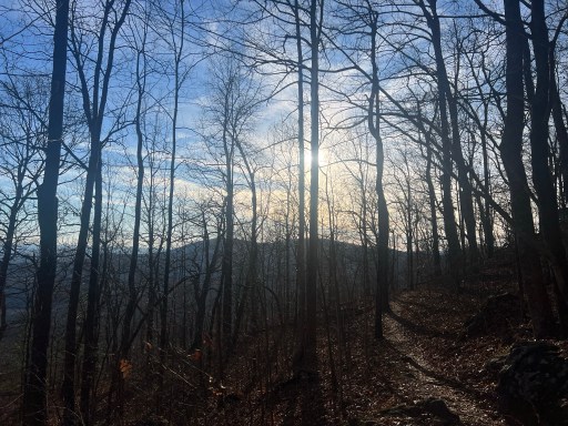
After the steep but short climb up to Ramrock Mountain I spotted the campsites near a wonderful view!

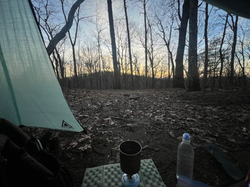
It was still fairly early and I had a little over an hour of daylight. I pitched my tent and settled in. It was nice to be able to cook dinner on the daylight. I’m usually doing all my evening chores in the dark.
After dinner I journaled. I’ve just two more nights including this one – crazy!

Leave a comment