Date Written: 8/16/2024 | AT Mile 148.7 | Day Total: 16.1 miles | Gain: 3476 ft
Woke up to the sound of the loons. I ate coco wheats by the pond after I packed up camp. There are bluegill swimming around in the shallow parts near the shore.

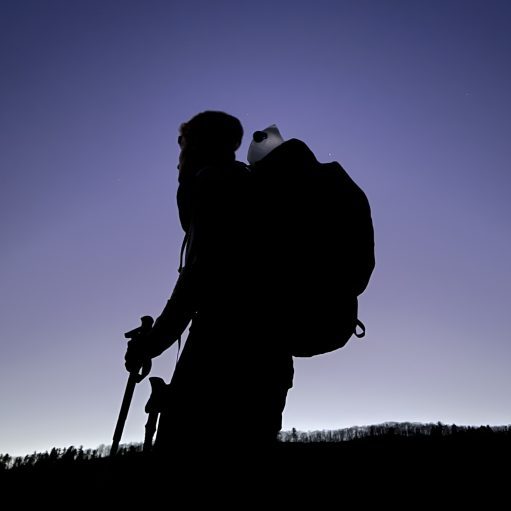
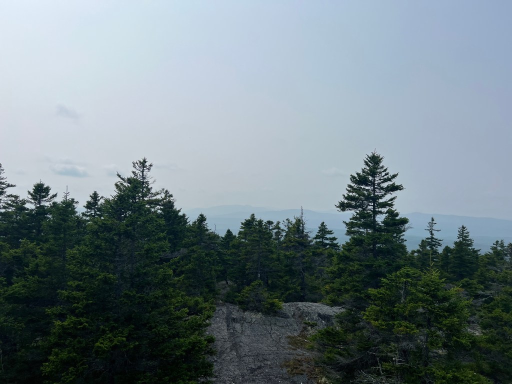
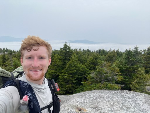
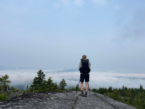
Where I camped last night, Bald Mtn Pond Lean-to, is right at the base of Moxie Bald Mtn. I considered doing this climb yesterday but it was getting a bit too late in the day and I was pretty tired. Anyways, I had a very steep climb up this morning. The cooler morning air allows me to take less breaks on the way up. I was above the clouds when I was at the top which was pretty neat! A meal bar and pedyalite were on the menu for the peak snack. I also got intermittent service so I was able to message the family a picture.
Later today I will be going over Pleasant Pond Mtn. Which you can see in the distance in the previous photo.
The decent from Moxie Bald was a slightly less steep than what I had just climbed up. Closer to the top there’s a small “cave” it’s a cool gap topped with a large rock but calling it a cave is giving it too much credit.


The middle of the day was cruisey. I was following a stream for the majority of the valley between the two mountains. I did have to cross a larger stream (Baker Stream) that required shoes off to cross with dry feet.

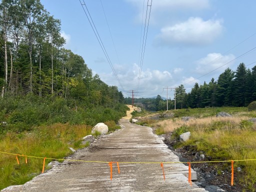
The AT has a protected corridor that surrounds it but you still occasionally run into some unnatural noises. They were working on installing new power lines today.
The hike up Pleasant Pond Mtn was put together in 300 ft section separated by either flat or a slight downhill. It was definitely hotter than this morning and I was fatigued from the previous climb.
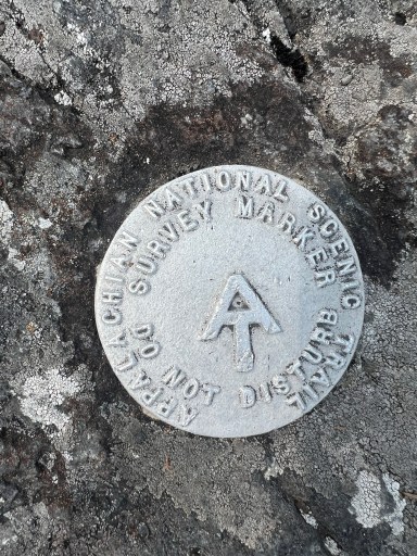
I’ve seen a few of these survey markers but this is the first one I’ve taken a picture of. I generally see them at the peak of a mountain. If you think that they would make a good souvenir, think again, as it comes with at hefty fine.
I ate lunch on Middle Mountain (just before Pleasant Pond Mtn) but it was a bit underwhelming as the views were obstructed by evergreen growth.
I descended a little then climbed another 300ish ft to the top of Pleasant Pond Mtn. There were some really nice views here of the ponds and lakes nearby. I got some service so I was able to get another journal scheduled. I also got word that Nathan’s and Cole made it home safely super late last night. They did a TON of driving yesterday.


The decent was super steep. Lots of rocks that required big steps down.
I’m planning on crossing the Kennebec River tomorrow morning. The ferry across runs from 9am-2pm this time of year. I was checking FarOut for the closest campsite to the crossing. It’s still pretty early to stop walking (3pm) and there’s a shelter 6 miles or a small campsite just 3 miles from the river. I went for the small campsite so I could try to sleep in a bit longer. I’m going to try to hit the ferry before they open. When I say “ferry” it’s a volunteer that canoes you across.
It’s a nice little site for tonight. It’s got room for 2ish tents and is directly next to the stream so I’ve got nice water sounds for the night. Seems like it’s just me here which I expected. Going to bed at 8pm.


Leave a comment