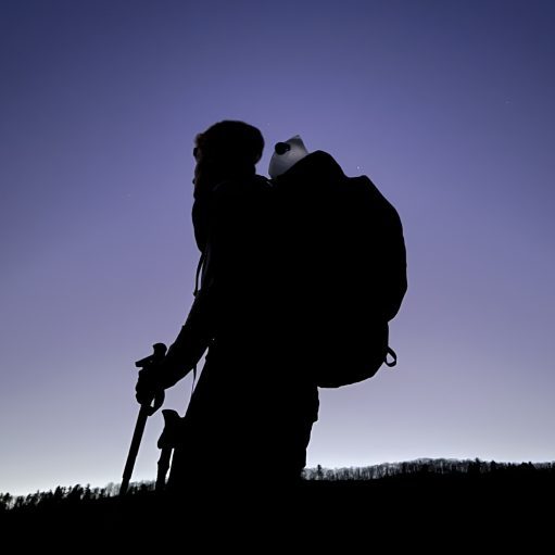
Date Written: 9/14/2024 | AT Mile 600.8 | Day Total: 23.0 miles | Gain: 5404 ft
Guess what! No bears last night or while I was eating breakfast this morning. I packed up and was walking at 7:30 this morning. Both Kill Bill and I have a big day planned today, 23 miles. He was out 15min before I was.
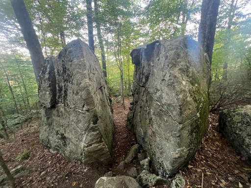
Walked through Split Rock this morning as I headed down to the road to Bennington. Neat but underwhelming.
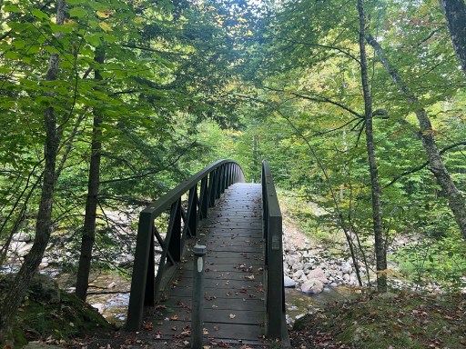
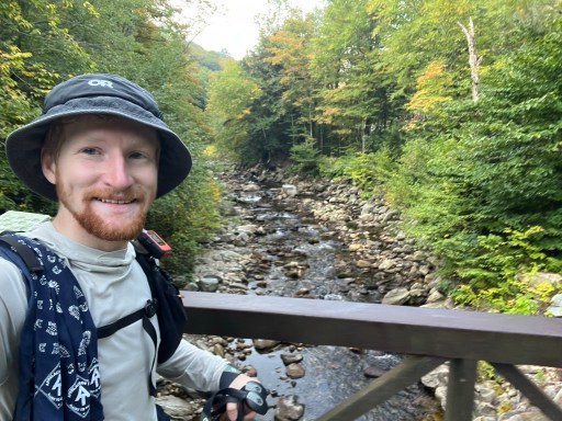
There’s a bridge down by the road to Bennington. I’m grateful for all the bridges in the past few states. Maine really wanted to be wild and said no to any bridges. There were also a few stealth spots to camp here, as some people were.
The climb up to Harmon Hill was brutal. I wasn’t expecting it to be so steep and went in too fast. It was also hotter this morning than it has been.

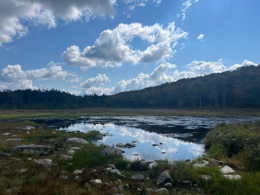
I passed a few beaver bogs just before I took a lunch break. It’s a Saturday and I have been passing a lot of weekend hikers the past few miles.
I ate lunch at an unmarked spring that crossed the trail. There’s not much flow but enough to pick up with my bag and filter. I didn’t stop very long because I had been moving slower this morning than I expected.
After lunch I passed some power lines. In fact I passed few today. I’m passing towns nearly everyday now and they need power somehow.

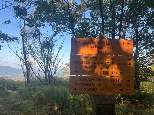
I hit two big checkpoints today the first being the VT/MA boarder! The sign is written with nobos in mind, not sobos. It’s also the start (for most) of the Vermont Long Trail. When I walked up to the sign I talked with and other sobo that started July 3rd. He’s moving pretty slow…

I passed by a dismantled rock garden. It had a partial view but was mostly obstructed by trees.
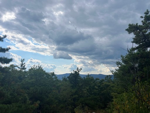
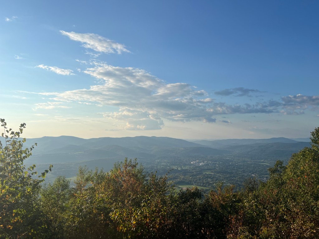
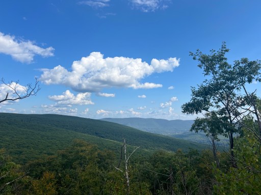
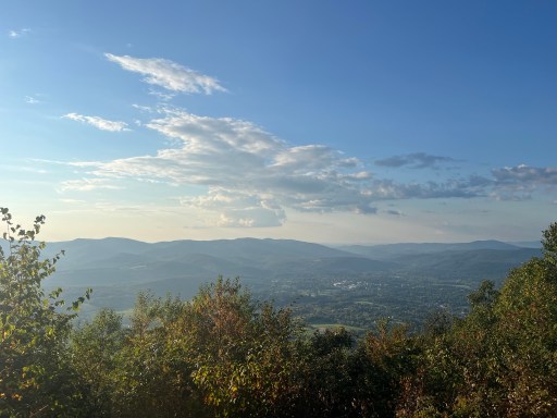
Just around the corner there was a rocky descent. The rocks were smooth which made them slippery. It was tricky to find good footing but luckily it didn’t last too long. Near the top there was a good view of the valley and mountains across the way.
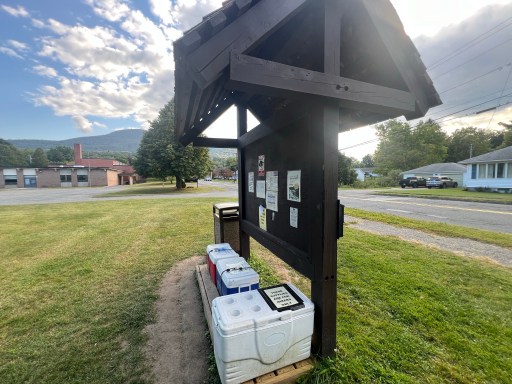
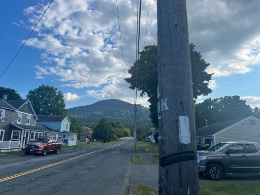
This descent brought me all the way down to Williamstown. I walked through neighborhoods and streets for about a mile. I passed a bridge and also some trail magic in coolers! I drank a juice box and had a chocolate Twinkie thing.

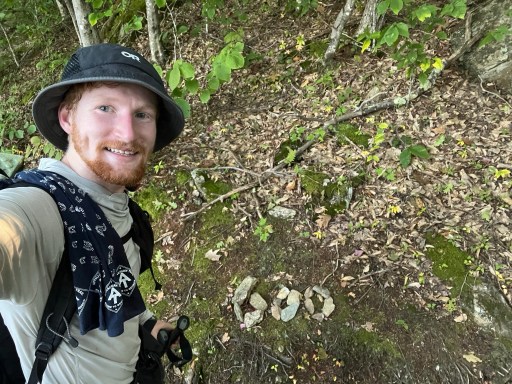
I had about 3 miles after the town to get to the shelter for tonight. It was a 1800ft climb so it’ll be fairly slow. It didn’t end up being too bad and there were switchbacks on the way up. I did in fact hit the 600 mile mark! There was a nice view at the top at Mt Prospect Ledge.
The hike after the view was short but I had to take the .3 mile side trail to the shelter/camping area… There were a bunch of people already here. Mostly weekend hikers. There were a bunch of spots and I found one just behind the shelter that should work. It’s a little rocky though so some of my stakes didn’t go in the ground and had to be secured with rocks.
I grabbed some water from the very slow flowing stream in front of the shelter. It’s cold and clear so I’m pleased. Cooked some dinner by my tent. I usually eat by the shelter but there’s a group of 3 younger hikers that have taken over the 7 person shelter. They have pitched their tent right in it…
While I was eating dinner there was a couple that bike packed in tonight (biking but with gear on their bikes). Kill Bill also came by and we talked about plans for tomorrow. Probably going to hike 20.8 into Dalton for resupply. I may resupply in Cheshire at lunch though. Going to play it by year.

Leave a comment