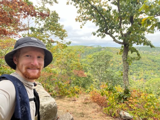
Date Written: 9/20/2024 | AT Mile 724.5 | Day Total: 22.9 miles | Gain: 5246 ft
Slept like a rock last night. Just before I went to bed a guy came walking through camp with a headlamp in the dark around 9pm. A few minutes later we walked back past me leaving the camp for which I assumed to go get water from the spring but he never walked back. I couldn’t see if he had a backpack on or not. Maybe out for a sunset hike and went down the wrong trail? Wild guess…
While making breakfast this morning I pulled out my oatmeal and came to the realization that I had grabbed the wrong flavor. I had thought I got maple & brown sugar but I sit here now with banana nut. It’s not my favorite flavor I discovered, but still ate it all.
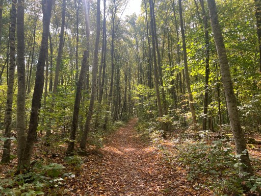
I had a few hundred foot climb this morning. It was cooler which was nice but that didn’t stop me from sweating and wetting out my shirt. After a walk along the top I came to Hang Glider View.
Further along the top is Mount Easter. It’s all wooded and the rock looks as if it should lead to a viewing.

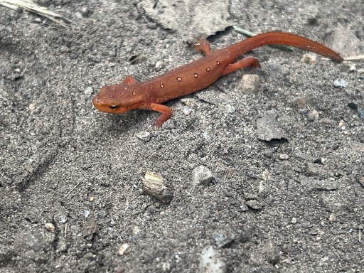
Found another Eastern Newt today in the middle of the trail. Would’ve stepped on the little guy if I wasn’t looking down.
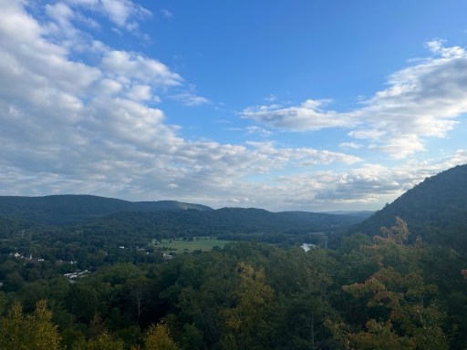
There was an unmarked view right before Roger’s Ramp. Fall colors are popping out vibrantly today.
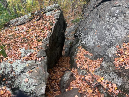
Roger’s Ramp was a squeeze through rocks, but not too tight. Some of these rocks seem to come out of the blue.
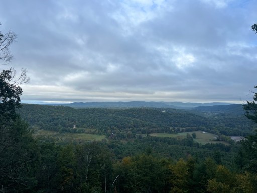
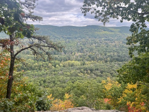
I came across an unnamed view before I stopped for lunch. It was the best I’ve had today.

I ate lunch by a stream. I’ve found that eating lunch next to a stream is convenient because I can drink as much water as I want and gravity filter while I eat.
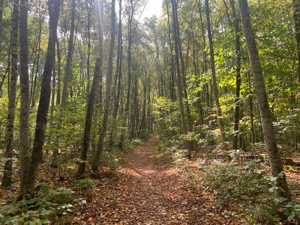
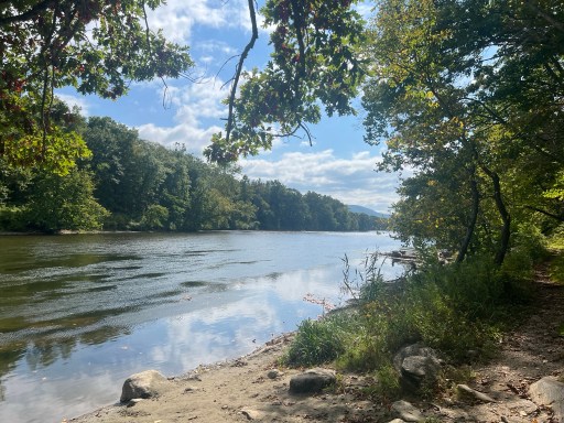
After another climb I descended down back to the Housatonic River. The trail has been roughly following it for a while and now. I’m going to be walking directly next to it for a nice flat 5 miles. The trail along the river was covered generosity in leaves. The most I’ve seen yet.
After the nice flat stretch I was greeted by a steep rocky climb. I should have expected nothing less of the AT.


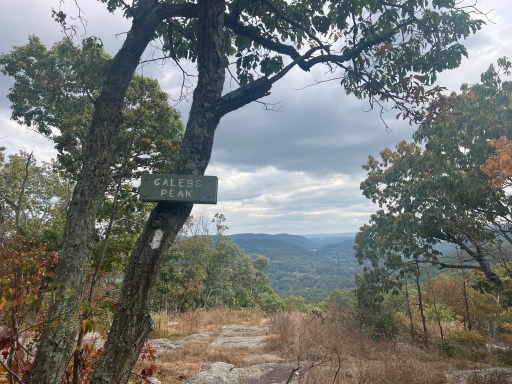
St John’s Ledges at the top offered a nice view while I cooled off. I still had a little to climb to the top of Caleb’s Peak.
I had just a few more bumps along the ridge before I went down before the climb into camp. The trail takes a detour to a road with a bridge over Macedonia Brook because the bridge has fallen apart. Unfortunately the reroute takes you on the road which the shoulder doesn’t give much room for you and the cars. I found myself pushed up against the railing when a few cars went by. Probably more dangerous than fording the small brook… although I can see it rising up after a rainstorm though.
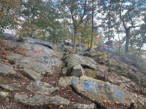
The detour did take me past a rocky outlook. It appears to be frequented by people with access to large buckets of paint… definitely not LNT.
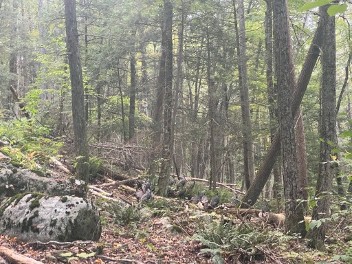
The climb up from the road was about 300ft and fairly steep. I saw a group of around 20 turkeys!
Kill Bill was at the shelter, tent already pitched and cooking dinner. I dropped off my food and cooking supplies at the table and went to pitch my tent. I had Mac & Cheese for dinner. Still remains as one of my favorites.

Leave a reply to distinguishedenthusiastically21217f931d Cancel reply