
Date Written: 10/07/2024 | AT Mile 1031.1 | Day Total: 19.0 miles | Gain: 3236 ft
It rained a bit last night, so the outside of my tent is wet. The inside walls are layered in condensation making anything that touches the wall wet as well. Manageable but tedious.
I pack up all my sleep stuff and left my tent to dry while I ate breakfast by the pavilion. I’m having trouble with the Mapshare with my Garmin- it doesn’t want to show my live location… I thought I had fixed it this morning but is later found out that it was still being funky.
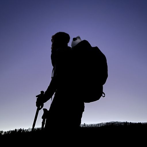
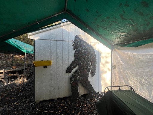
I charged up my phone, organized my bag and signed Sasquatch! I left my wet tent to be packed up last to get as dry as possible. I left just after 9, a bit later than I had wanted but I’m not doing any crazy miles today.
I’ve got some climbs out of the gate today, the first one wasn’t too tall. For the next few miles I was stopping every 10 minutes messing with the Mapshare because it’s still not working… after a while I just left it tracking and hoped that I worked…
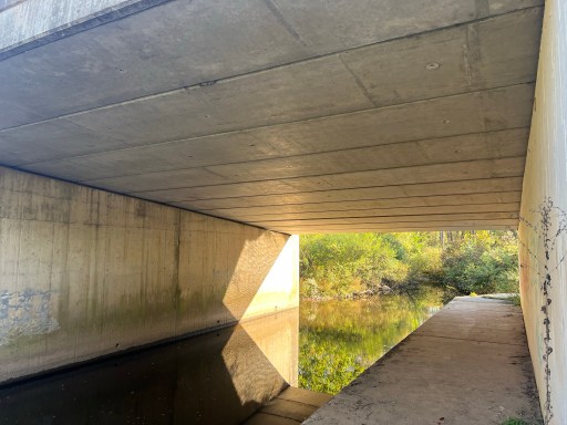
I meet a gentleman at the PA 443 parking lot. He’s a trail maintainer and asked about a large tree that had fallen. I recalled ducking under a large one so told him that. They wait until the trees on the ground to cut it because it’s dangerous otherwise. Shortly after I crossed under a bridge with a small waterway.
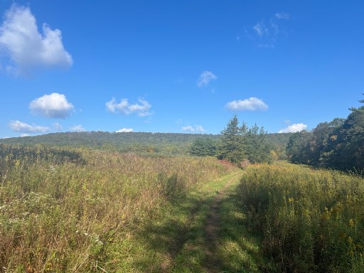
I had one of the large climbs up this morning left. There were a few pastures that I walked through. I’m loving the fall colors, cooler weather and slight breeze today!
The top of the climb had a few views. It’s very open up here and there’s lots of pricker bushes that keep snagging my clothes.

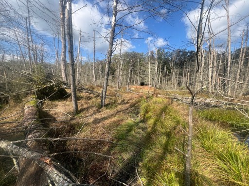
After a well graded descent I came upon a recently flooded section of trail. FarOut notes that Stony Creek had been flooded by beavers. It’s been pretty dry lately and hikers have made a balancing beam of a path to the other side. They made use of a few old downed trees as make shift bridges.
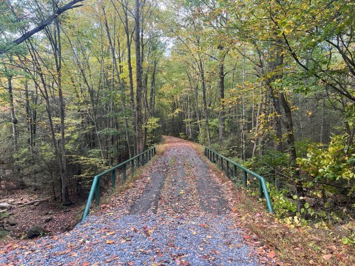
I ate lunch just after at Raush Creek. There’s a bridge and a neat limestone “well” system that increases the Ph of the water because of old coal mines nearby. I ate lunch on the gravel near the wells.
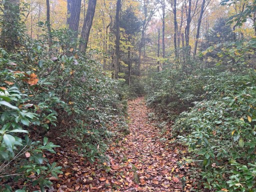
I had a very gradual climb afterword, hardly noticeable but continued on for a few miles. It much happened this afternoon. I stayed on the ridge and walked on mostly flat trail dodging the occasional rock. I walked through patches of rhododendron on occasion and saw another Black Rat snake.

I eventually descended upon Clark’s Valley Road parking. There’s a spring about 3/10ths of a mile away and comments of some tent sites nearby. I hope to camp there tonight as once I go back up it’s not easy to get to water. The spring was flowing the tent sites were all very slanted and rocky. I decided to load up on water and continue up where another larger campsite is located.

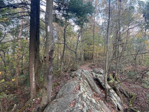
The trail at the top was pretty cool. I was walking along the “knife’s edge” of the ridge for a moment before getting to camp.
I got to camp around 5:30 and started cooking dinner before I pitched my tent. I have to let my pasta sit in the boiling water for a few minutes to cook all the way. So while that happens I pitched my tent and threw my bear line.
Kill Bill also ended up here tonight. He said that Sky and Leaf are camping at the view not far ahead. There’s some rumors of the trail down south being closed until October 2025 on a new article. But there’s nothing on any state parks website about it, so I think (and hopeful) that it’s false information. At least I’m hoping so.
Planning on resupplying in Duncannon tomorrow. I’m going to play it by year for where I’m going to stay. I could either stay in town or hike 4ish miles to a shelter. We’ll see what time I finish my resupply tomorrow. Planning on an earlier start to the day.

Leave a comment