Date Written: 10/24/2024 | AT Mile 1399.3 | Day Total: 25.3 miles | Gain: 5269 ft
Cooked breakfast in the shelter this morning. There was a mouse in the shelter last night. It was fumbling with the disposable towel I used to wipe down my legs and feet. I shooed it away and luckily never saw it again. Also a had a visit by some deer last night. It’s easy to be awaken because of all the loud leaves in the ground.
Yesterday evening I noticed a sore spot on my pointer finger and it’s developed into a small blister around the nail. Maybe an infection… going to see how it holds up today.
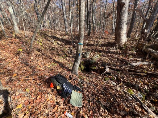
I began hiking just before 8:30. The first few miles I was hiking along the ridge going up and down a few hundred feet at a time. I loaded up with water at a spring about 3 miles from the shelter because the water sources ahead are all far off trail and I didn’t want to hike the extra .6 miles to the source.
When I was filtering water at the spring Kill Bill passed by the trail. I want sure if he was ahead or behind me but he had spent the night at a campsite just before the shelter last night. He got his BAR results back and he passed. The unfortunate news is that the army wants him to start his training in 10 days so he’s ending his hike today in Lexington. It’s been nice having another hiker nearby. Especially on the nights that I would be alone otherwise. I’ll probably see him at lunch so we didn’t say official good byes yet.
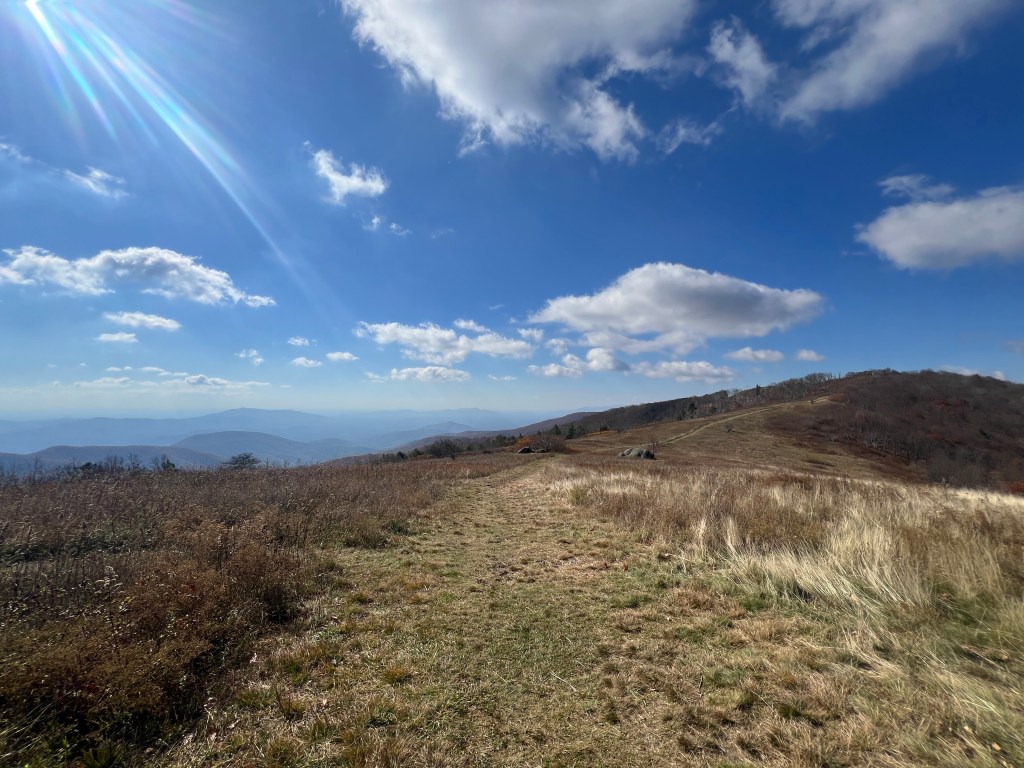
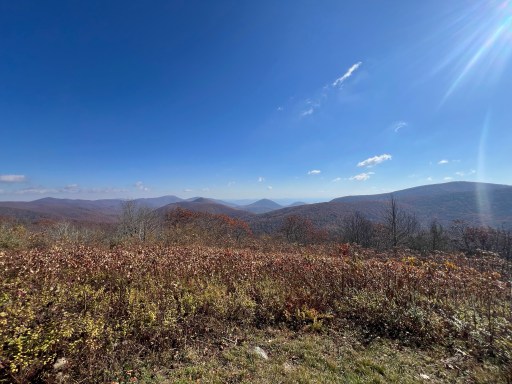
I eventually made it to Tar Jacket Ridge. It had some great view and it area that had been recently mowed with a brush hog.
I then descended into Hog Camp Gap which had an abundance of grassy meadows and apple trees.
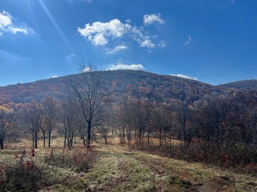
Cole Mountain was up next and it had the best view all day. Something about seeing the trail go up the grassy mountain was so fascinating.

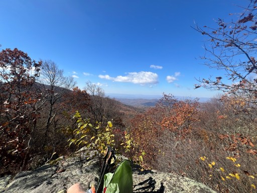
The next mile I walked in and out of various meadows with these gorgeous views. It was about time for lunch so I stopped at a small rock outcropping with a view to the west. The trees at the top of the mountains are mostly leafless now as they change sooner because they are higher up.
I passed Kill Bill at another view just past mine eating lunch. We came to the conclusion that this would likely be the last time we’d see each other. We said our goodbyes and I continued on.
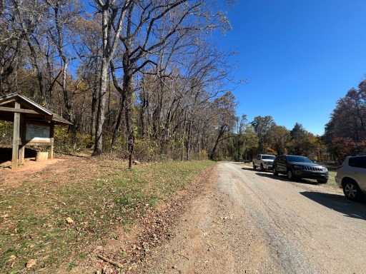
I climbed 600 ft to Bald Knob. It’s a wooded summit with no view. This is the last peak before I descended far into the valley below. I made it to the parking lot and road that takes you into Lexington. This is where Kill Bill will be ending his hike.
The next 6 miles I was in the valley walking along Brown Mountain Creek. A sign stated that this area used to be a small farm community and you can see remnants of it.

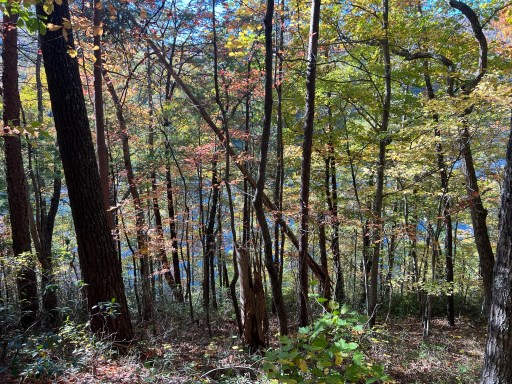
As I neared the end of the valley I got glimpses of the Lynchburg Reservoir through the trees. I could also make out the dam along the southern side of the reservoir. A mile later I crossed another cable bridge similar to the one yesterday.

I hopeing to camp at a stealth site just past a spring on my way up. When I got to the spring there was water but it was undesirable as it was not flowing much at all and I couldn’t collect any of it. I considered my options and rescued to push another 4 miles to the shelter. I’ll still get there before dark but I’ll be dark by the time I cook dinner. I passed the nobo 800 mile marker!

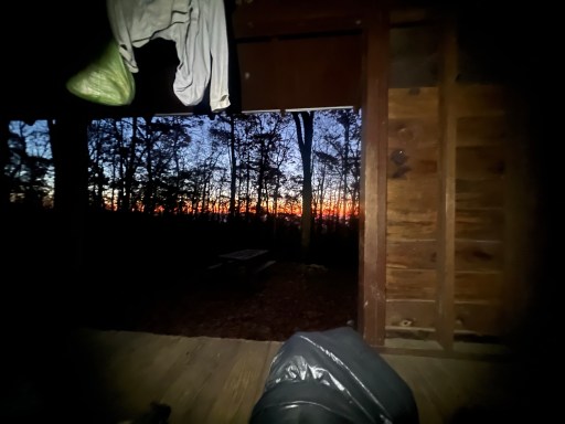
I arrived at the shelter and there was a flip flop hiker in the shelter. He’s got a fire going, or should a say some hot coals now. I decided to pitch my tent in the open space near the shelter. I just sleep better in a tent and I didn’t want to bother him as he looked like he was ready for bed.
After pitching my tent I made some mac and cheese. Looking forward to seeing Megan and Seth tomorrow! I’m just 10 miles from town so I should have plenty of time to resupply and clean myself up.

Leave a reply to distinguishedenthusiastically21217f931d Cancel reply