Date Written: 10/31/2024 | AT Mile 1518.6 | Day Total: 19.4 miles | Gain: 4323 ft
Happy Halloween! Took my time getting ready time morning. I was packed up and hiking a little after 9. Hiked the long .3 miles back to the trail. It’s never fun having to hike extra miles… but oh well.
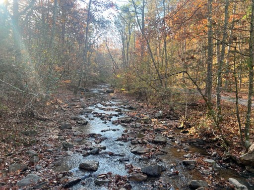
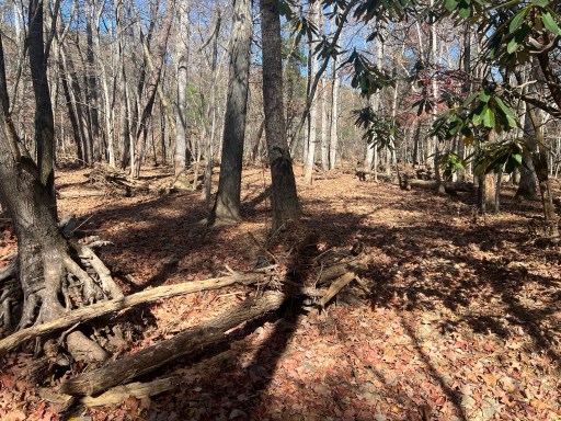
Had a gradual downhill trail this morning to Trout Creek. It’s beautiful and it’s the perfect temperature out.
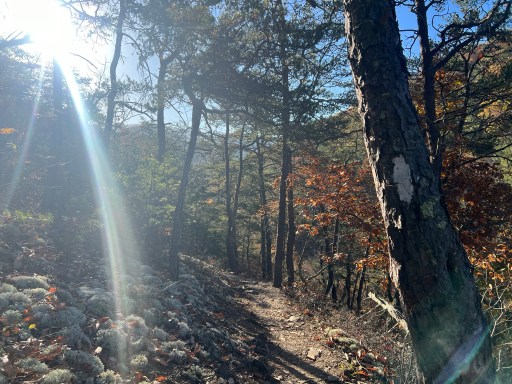
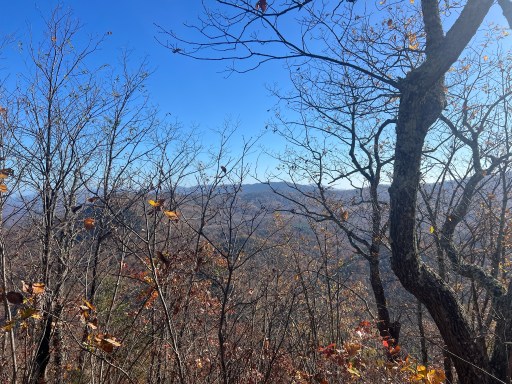
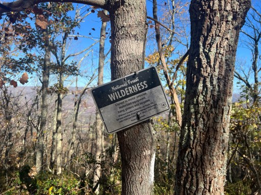
Had my first 1700ft climb up to Brushy Mountain. It was a very gradual climb which made it easy to keep a good pace up it. Once on the ridge with views through the trees I all the way up to the top. There’s multiple signs saying that the trail is “closed to motor vehicles, motorized equipment, bicycles, and hang gliders”. I would love to hear the story behind the addition of “hang gliders” to that list.
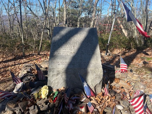
There’s a monument for Audie Murphy at the top. Lots of trinkets, flags and crosses surrounded the monument.
After the monument I descended down towards Craig Creek. There’s a small water source that I ate lunch at and filtered water. I packed ritz for lunch at the last resupply, attempting to mix things up. They’ve held up pretty well considering they are pretty fragile.
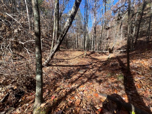
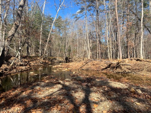
The area around the Craig Creek was low and it was clear to me that it had flooded during hurricane Helene. The trees had nests of leaves and sticks around their trunks. Today the creek is flowing but low enough to rock hop across. There’s a detour to the rock hop because an old bridge went out of service a few years ago.
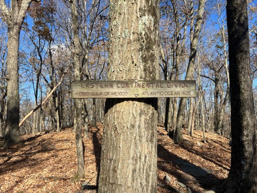
I had one more big climb today up to Sinking Creek Mountain. This ascent was even more gradual than the one this morning. Once at the top, I made it to the Eastern Continental Divide. This is where waters on the west side of Sinking Creek Mountain flow into the Mississippi River and the Gulf of Mexico, while the east side flows into the James River and Atlantic Ocean.
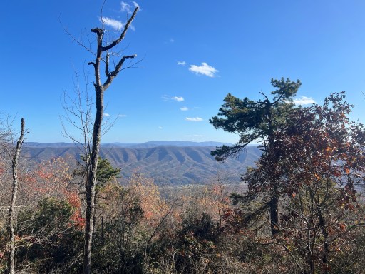
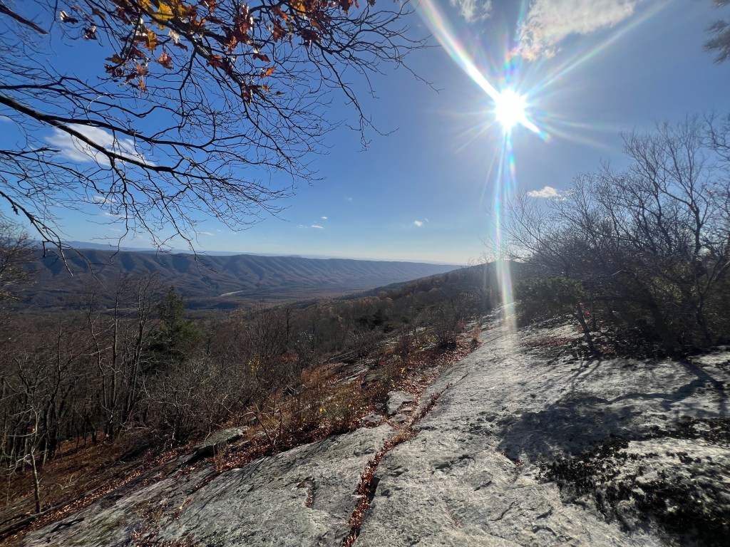
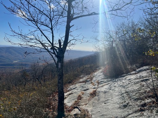
Once on the ridge I walked along rock ledges. These were no ordinary ledges as the trail walked along very slanted rock. The sides of my feet were begging to be slanted the other way after walking on the them for so long. On the bright side there were wonderful views to the southeast!
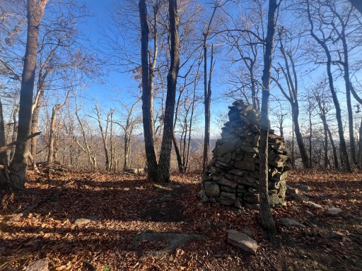
There were also there large rock Carins along the ridge for a mile called Bruisers Knob Cairns. It seems silly to have made so many carins along the ridge.
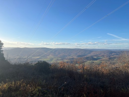
Just before I descended back down the mountain I walked underneath some power lines with really good view. Although they don’t compete with the views from the ledges.
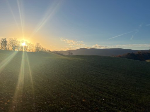
Down off the mountain now, I was coming close to where I wanted to camp tonight. The sun was low in the sky and I walked through a few pastures. The scenery was like something out of a movie.
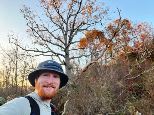
There were lots of paths in the pastures and I got turned around once aand didn’t see any blazes. Luckily I didn’t wonder too far off track and I could see the massive Keffer Oak tree that stood out like a sore thumb. The oak tree is estimated to be about 300 years old and its size is hard to represent on camera.
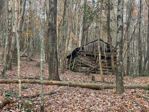
I flllowed a stream down past an old dismantled cabin and to a parking lot near the campsite.
I pitched my tent as the sun was setting. Tomorrow I’ll see my parents! I’m so excited not only to see them but also spend 3 nights hiking with them.

Leave a comment